
Kangra Fort: how to reach & distances
Kangra Fort is the old fort of the Katoch kings, above the river on the edge of Kangra town. It is about 4 km from Kangra and 22 km from Dharamshala by road. The nearest airport is Gaggal (Kangra), about 15 km away, and the nearest railway station is Amb Andaura, about 67 km.
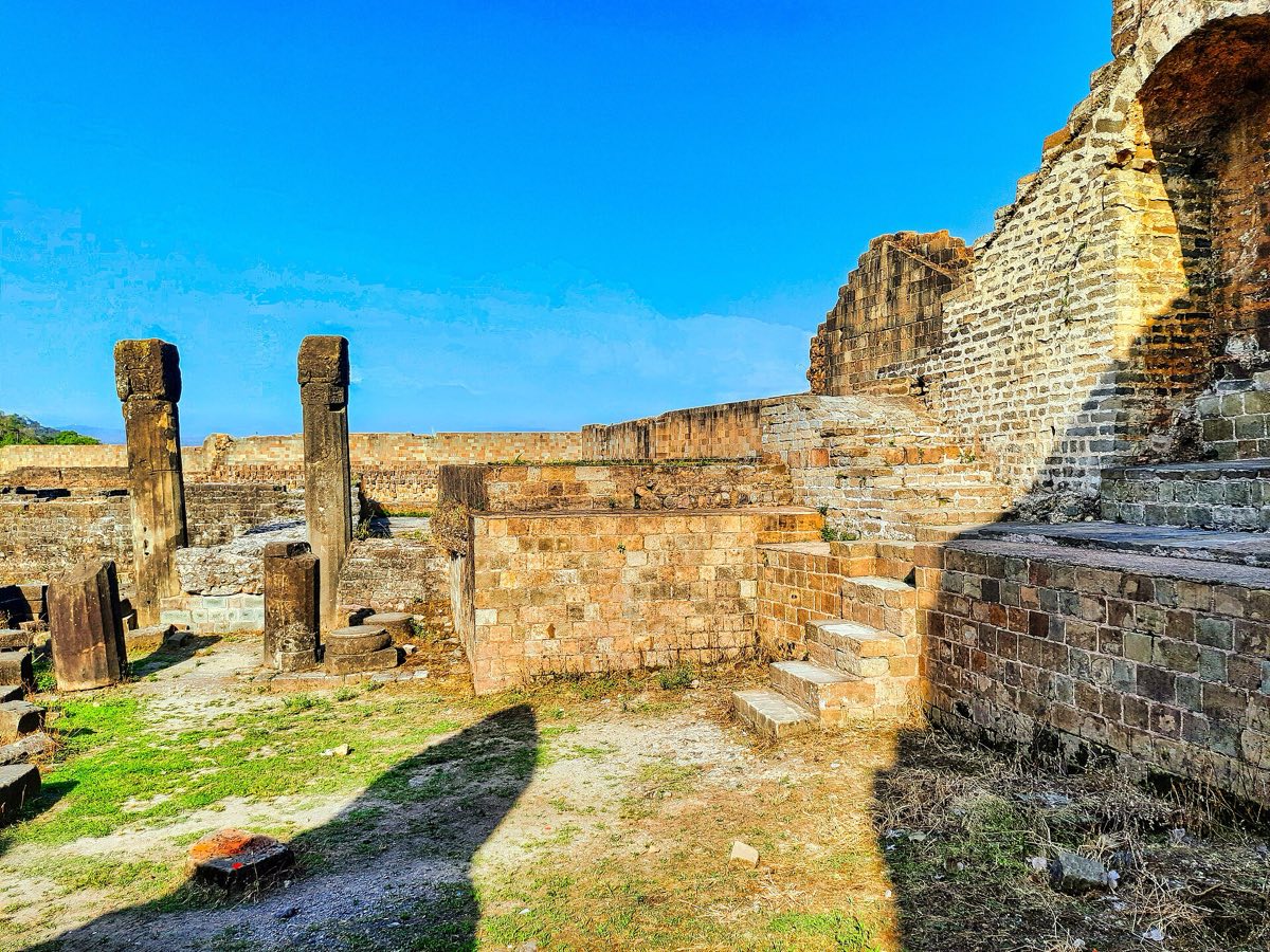
About Kangra Fort
The fort was the seat of the Katoch rulers of Kangra and changed hands many times over the centuries. The 1905 earthquake brought down much of what stood, and the walls and gateways you walk through today are what survived.
It is a few minutes from our taxi stand and from Brajeshwari Devi, so it fits at the start or end of a Dharamshala sightseeing day.
How to reach Kangra Fort
By air
- Kangra Airport (Gaggal)15 km~25–30 minutes
By train
- Amb Andaura Railway Station67 km~2–2.5 hours
- Pathankot90 km~2.5–3 hours
- Una98 km~2.5–3 hours
By road
- Kangra4 km~10–15 minutes
- Dharamshala22 km~40–50 minutes
- Chandigarh220 km~5–6 hours
- Delhi483 km~9–11 hours
- Amritsar203 km~4.5–5.5 hours
- Ludhiana189 km~4.5–5.5 hours
We drive to Kangra Fort from our Kangra taxi stand. Send your date and group size on WhatsApp for one all-in fare.
Kangra Fort: questions
How far is Kangra Fort from Kangra?
Kangra Fort is about 4 km from Kangra by road, and the drive takes about 10–15 minutes.
How far is Kangra Fort from Dharamshala?
About 22 km by road; the drive takes about 40–50 minutes.
Which is the nearest airport to Kangra Fort?
Gaggal (Kangra) airport, about 15 km away by road (about 25–30 minutes).
Which is the nearest railway station to Kangra Fort?
Amb Andaura Railway Station, about 67 km by road. Pathankot (90 km) and Una (98 km) are the other railheads.
How do we get a taxi to Kangra Fort?
Call or WhatsApp us at our Kangra taxi stand. Pickup from Kangra or Dharamshala is the same fare, and we quote one all-in figure for the car, driver, fuel and tolls.
Distances are road distances from OpenStreetMap routing (2026-11-19), rounded; see the distance chart.