
Baijnath: how to reach & distances
Baijnath is the town around the stone Shiva temple built in 1204 AD. It is about 50 km from Kangra and 52 km from Dharamshala by road. The nearest airport is Gaggal (Kangra), about 54 km away, and the nearest railway station is Amb Andaura, about 119 km.
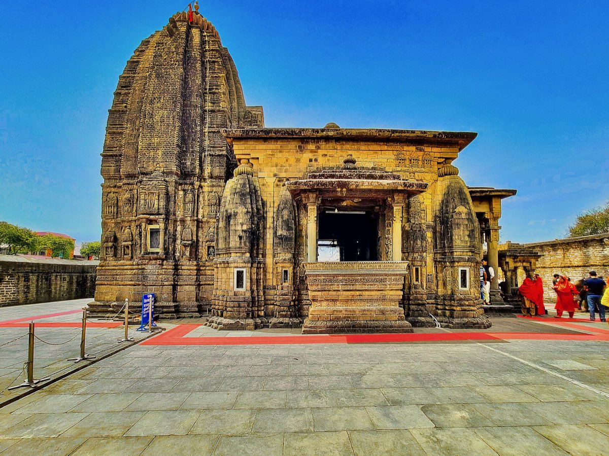
About Baijnath
The temple honours Shiva as Vaidyanath, the lord of healing. Inscriptions record that two merchants, Ahuka and Manyuka, had it built in 1204 AD. We tell its story, and why the town has no goldsmiths, in our journal: the Baijnath temple story.
Baijnath is the last stop of our Chamunda, Palampur and Baijnath day circuit, and it is on the road to Bir Billing.
How to reach Baijnath
By air
- Kangra Airport (Gaggal)54 km~1.5–2 hours
By train
- Amb Andaura Railway Station119 km~3.5–4 hours
- Pathankot129 km~3.5–4.5 hours
- Una150 km~4–4.5 hours
By road
- Kangra50 km~1.5–2 hours
- Dharamshala52 km~2–2.5 hours
- Chandigarh225 km~5.5–6.5 hours
- Delhi488 km~9.5–12 hours
- Amritsar240 km~6–7 hours
- Ludhiana243 km~6–7 hours
Distance pages for Baijnath
Taxi
Our Chamunda Devi Palampur taxi is a one-day round trip from Kangra that includes Baijnath: ₹3,000 all-in for a sedan, ₹5,000 for an Innova. Car, driver, fuel and tolls included.
Baijnath: questions
How far is Baijnath from Kangra?
Baijnath is about 50 km from Kangra by road, and the drive takes about 1.5–2 hours.
How far is Baijnath from Dharamshala?
About 52 km by road; the drive takes about 2–2.5 hours.
Which is the nearest airport to Baijnath?
Gaggal (Kangra) airport, about 54 km away by road (about 1.5–2 hours).
Which is the nearest railway station to Baijnath?
Amb Andaura Railway Station, about 119 km by road. Pathankot (129 km) and Una (150 km) are the other railheads.
How do we get a taxi to Baijnath?
Call or WhatsApp us at our Kangra taxi stand. Pickup from Kangra or Dharamshala is the same fare, and we quote one all-in figure for the car, driver, fuel and tolls.
Tours that include Baijnath
Distances are road distances from OpenStreetMap routing (2026-11-19), rounded; see the distance chart.